Roof Inspections
Gather Valuable Data
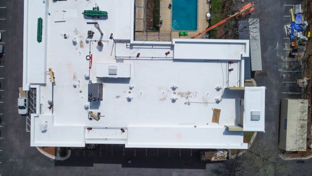
Drone photography enables you to collect important and actionable data on commercial and residential rooftops. Aerial views allow you to see a building or structure’s condition, spot leaks and imperfections, or simply understand current vents, HVAC systems or solar panels already installed on the roof.
Combining rootop photography with orthomosic mapping can further expand the information accessible at your fingertips. View huge rooftops in a single image. Collect measurements on rooftop objects. See incredible detail with up to a 0.7in/px resolution.
Enable Better Decision Making
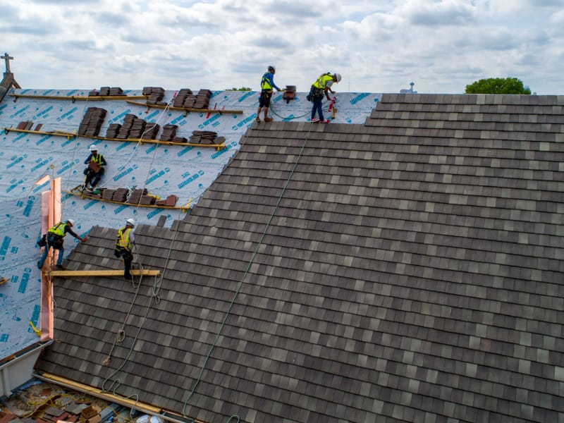
Rooftop aerial photography can empower you to make better, smarter, and more informed decisions. Get actionable insights for rootop repair, reshingling projects, or solar panel installations. Understanding rooftop conditions can help you provide more accurate quotes, project estimates, and more.
High definition photos also allow you to clearly communicate with clients, investors, or other customers. Help them understand your work and your process, and what the current status is on their project.
We’re On Your Side
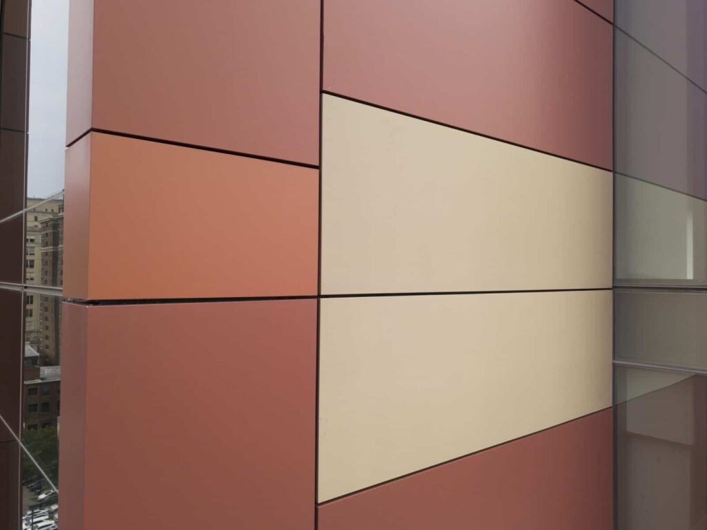
Buildings take abuse from all angles and all altitudes, and sometimes you need to perform side panel inspections along with rooftop inspections. Drones can easily fly to your area of interest and provide detail-rich information.
With 4K video and high-resoution photos, drones are capable of providing an up-close look at the current building or side panel condition. Optical sensors in the drone also allow it to maintain a safe operating distance from the building.
Our editing team can further enhance the photos to bring out detial in shadows, boost contrast to highlight potential problem areas in the building, or accomodate your other editing requests.
Tank Inspections
View Your Infastructure
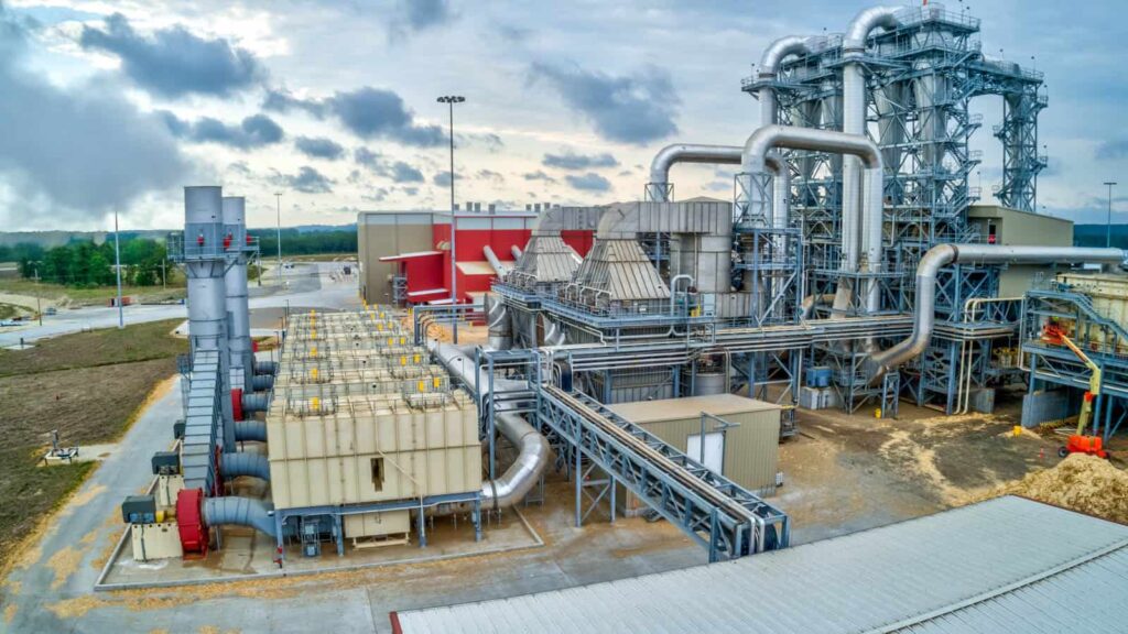
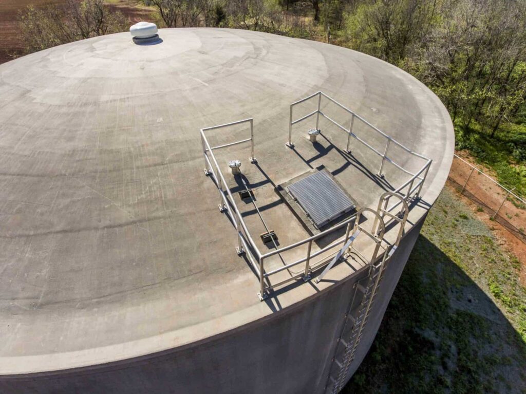
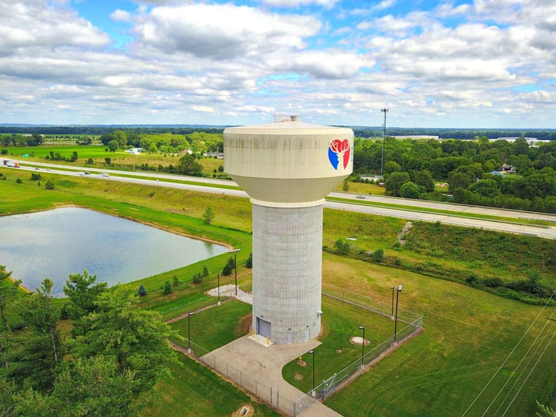
View your equipment and facilities from perviously unseen angles with the power of aerial imagery. Get a birds-eye picture of your operation & infastructure to understand it from entirely new perspectives.
Safely Maneuver in Challenging-to-Reach Locations
Aerial photography can help you understand your facility, model your operation, and provide valueable data. Drones allow you safely manuver in tight-to-reach locations. Inspect your tanks from angles, sides, and directions.
Safety First
With a 4.3 mile range and special transmission technology, drones enable you to operate and manuver them from a safe distance. You can stay out of harms way while photographing and visualizing your subject from the ground.
Tower Inspections
See All Angles
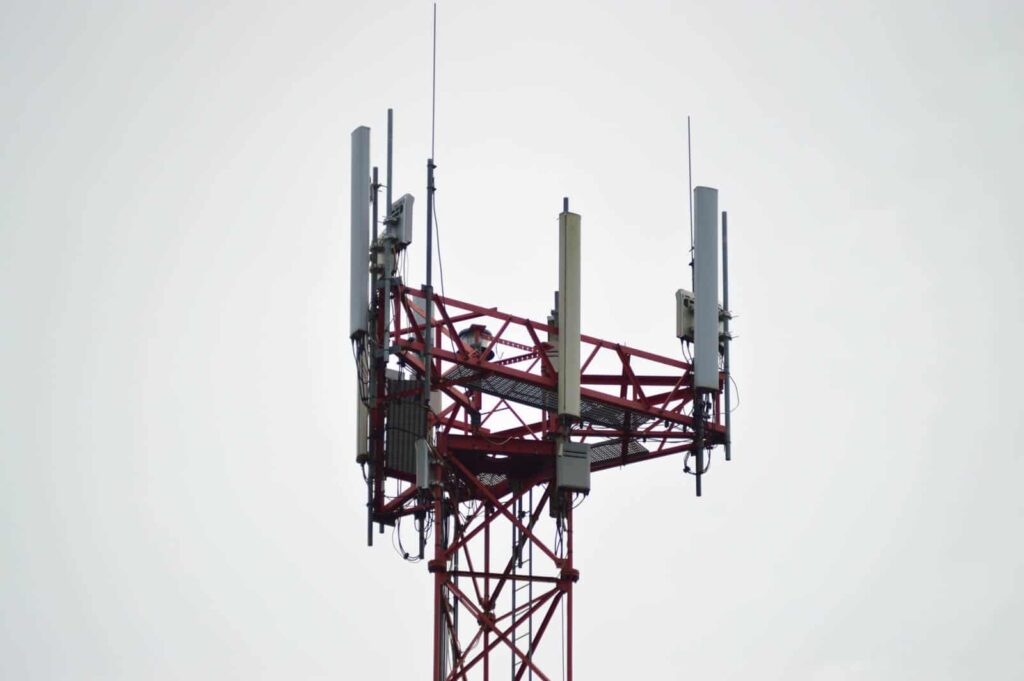
Cell, radio, and powerline towers can be tall and dangerous to climb. Using drone photography allows you to fly around a tower and visualize it from all angles. Assess the situation from safety before taking action.
Get Started with Our Drone Inspection Services Today
Learn more about how we can help you with your project.
